


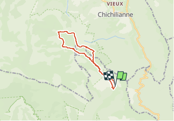


10.2 km | 17.1 km-effort


User


FREE GPS app for hiking
 SityTrail
IGN / Geographical institutes
SityTrail World
The world is yours!
Trail Walking of 12.2 km to be discovered at Auvergne-Rhône-Alpes, Drôme, Châtillon-en-Diois. This trail is proposed by AIGUIER.
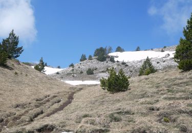
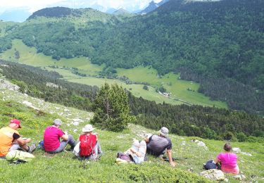
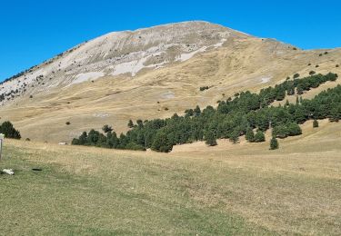
Belle rando avec un soleil radieux, d'agréables paysages.
Montagnes extraordinaires, dont le Mont Aiguille. Orchidée Militaire et
Gentiane. Terrier de Marmotte.
Le temps du repas n'est pas compris.


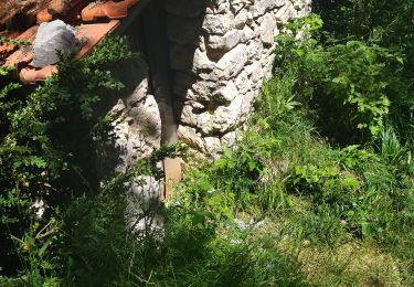
33 photos in total. Please click on a photo to see them all in the gallery.
Walking

Walking

Walking

Walking
Walking

Walking

Snowshoes
Walking
Walking