


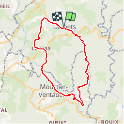


27 km | 34 km-effort

User


FREE GPS app for hiking
 SityTrail
IGN / Geographical institutes
SityTrail World
The world is yours!
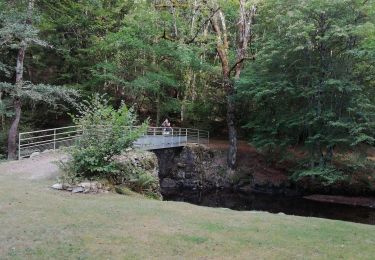
Trail Walking of 16 km to be discovered at New Aquitaine, Corrèze, Darnets. This trail is proposed by viam19.
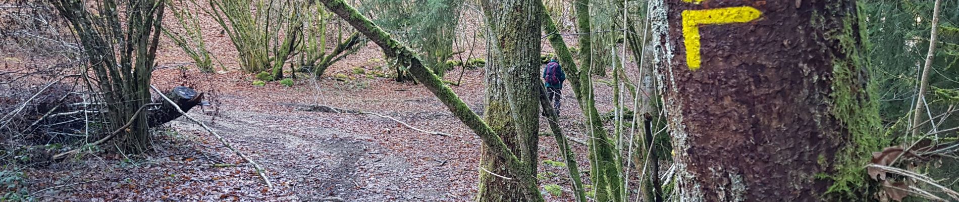
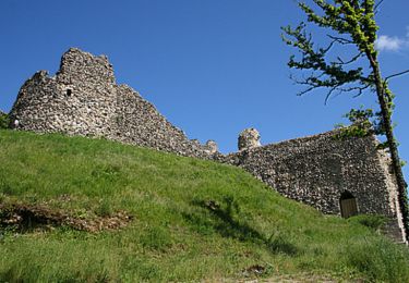
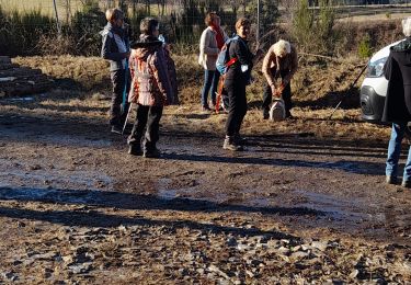
Darnets_chateau de ventadour sur sentier ombragé et nécessitant bâtons le long du ruisseau du moulin de Lieuteret. Retour Darnets par chemin sans difficulté notable.


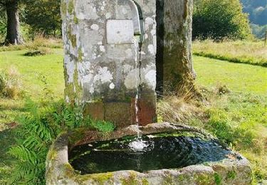
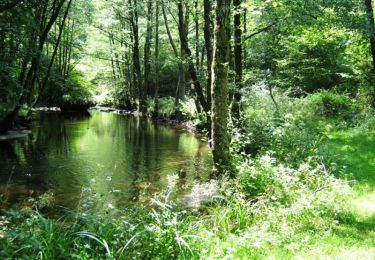
26 photos in total. Please click on a photo to see them all in the gallery.

Mountain bike
Walking
Walking
Walking
Mountain bike

Walking
Walking

Walking
très agréable