


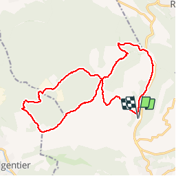

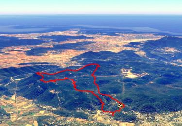
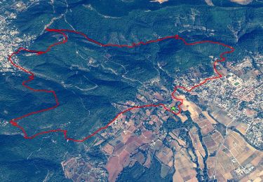
25 km | 34 km-effort
Sur les chemins tout va bien


FREE GPS app for hiking
 SityTrail
IGN / Geographical institutes
SityTrail World
The world is yours!
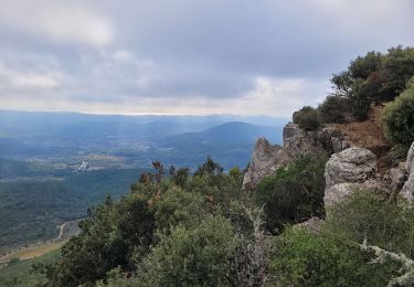
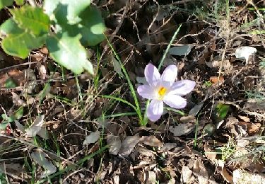
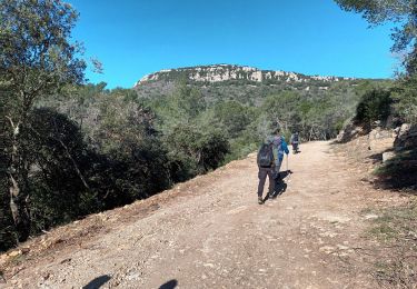
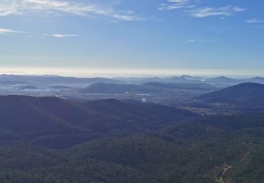
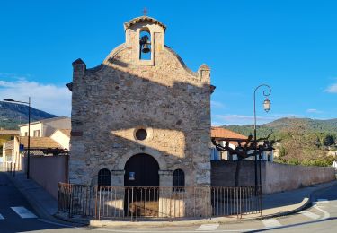
Trail Walking of 19.9 km to be discovered at Provence-Alpes-Côte d'Azur, Var, Cuers. This trail is proposed by Aridomi.


Mountain bike
Walking

Walking
Walking
Walking
Walking
Walking
Walking
Walking