


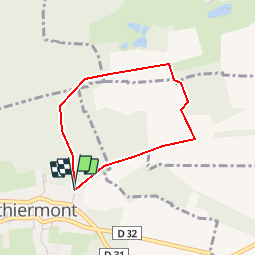

16.3 km | 19.5 km-effort


User


FREE GPS app for hiking
 SityTrail
IGN / Geographical institutes
SityTrail World
The world is yours!
Trail Other activity of 2.7 km to be discovered at Bourgogne-Franche-Comté, Territoire-de-Belfort, Vauthiermont. This trail is proposed by azathot100.
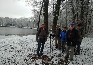
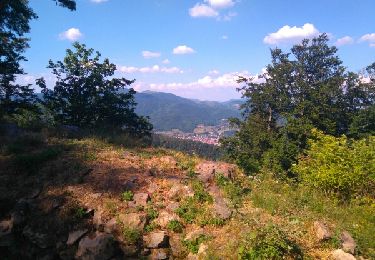
Walking
Mountain bike

Walking

Mountain bike

Walking
Walking
Walking
Mountain bike

On foot