


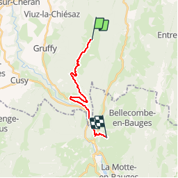

18.2 km | 35 km-effort

User


FREE GPS app for hiking
 SityTrail
IGN / Geographical institutes
SityTrail World
The world is yours!
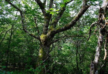
Trail Walking of 14.8 km to be discovered at Auvergne-Rhône-Alpes, Upper Savoy, Leschaux. This trail is proposed by tracegps.
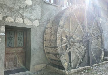
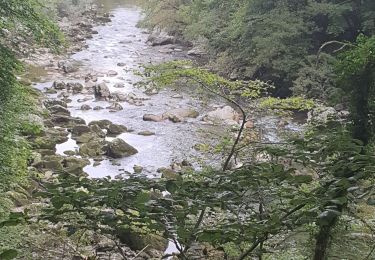
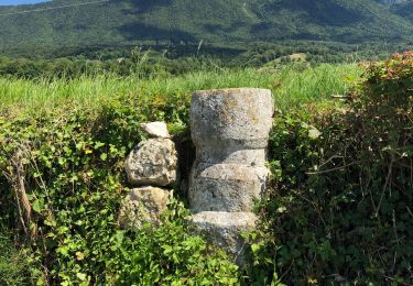
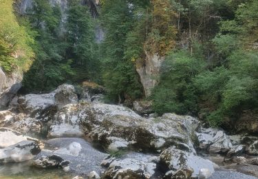
Départ sur Crêt de Chatillon, au carrefour de Semnoz-Alpes (vue sur les Alpes et le Mont-Blanc), chalets de Leschaux, refuge de Semnoz, granges de la Figlia (vue sur les Tours-Saint-Jacques), village d’Allèves, traversée de la D912, Pont du Diable. Après une courte montée dans un chemin forestier, on entre dans le village de Saint-Martin.


Walking
Walking
Walking
Walking
Walking

Walking
Walking
On foot
Walking