


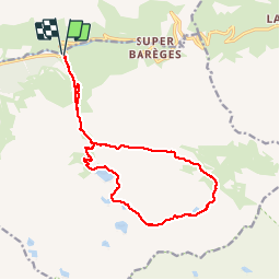

16.2 km | 31 km-effort


User


FREE GPS app for hiking
 SityTrail
IGN / Geographical institutes
SityTrail World
The world is yours!
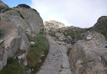
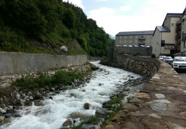
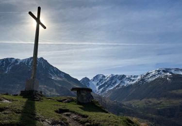
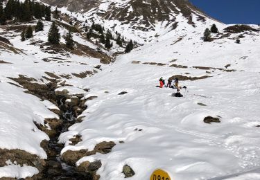
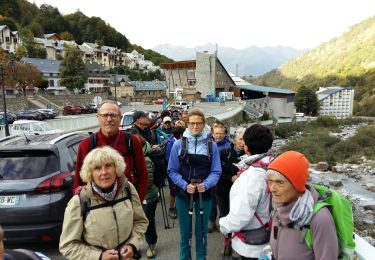
Trail Walking of 17 km to be discovered at Occitania, Hautespyrenees, Barèges. This trail is proposed by hugha.
Randonnée en boucle. 1000 m de dénivelé


Walking

Walking

Walking
Walking

Walking
Walking
Horseback riding

Walking
Walking