


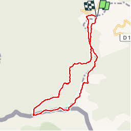

8.3 km | 14.1 km-effort


User


FREE GPS app for hiking
 SityTrail
IGN / Geographical institutes
SityTrail World
The world is yours!
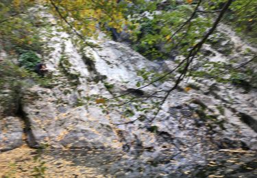
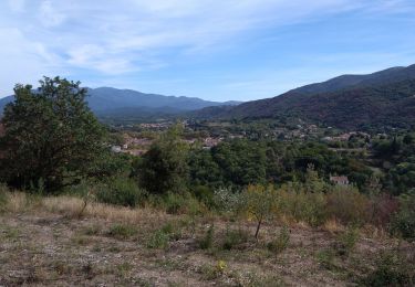
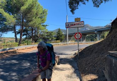
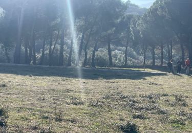
Trail Microlight of 9.2 km to be discovered at Occitania, Pyrénées-Orientales, Maureillas-las-Illas. This trail is proposed by jcmartin.
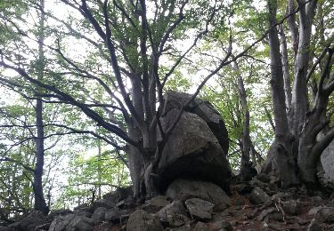
Walking

Walking
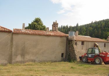
On foot

Walking
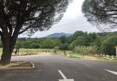
Walking
Other activity
Walking
Walking
Walking