


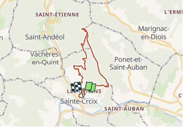

6.9 km | 11.1 km-effort

User


FREE GPS app for hiking
 SityTrail
IGN / Geographical institutes
SityTrail World
The world is yours!
Trail Walking of 14.1 km to be discovered at Auvergne-Rhône-Alpes, Drôme, Sainte-Croix. This trail is proposed by ajd26.
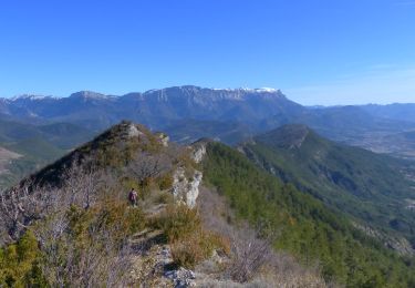
Depuis St Croix, serre de mule (hors piste et très raide, autre accès possible), le Vacant et retour par la Buisse en balcon
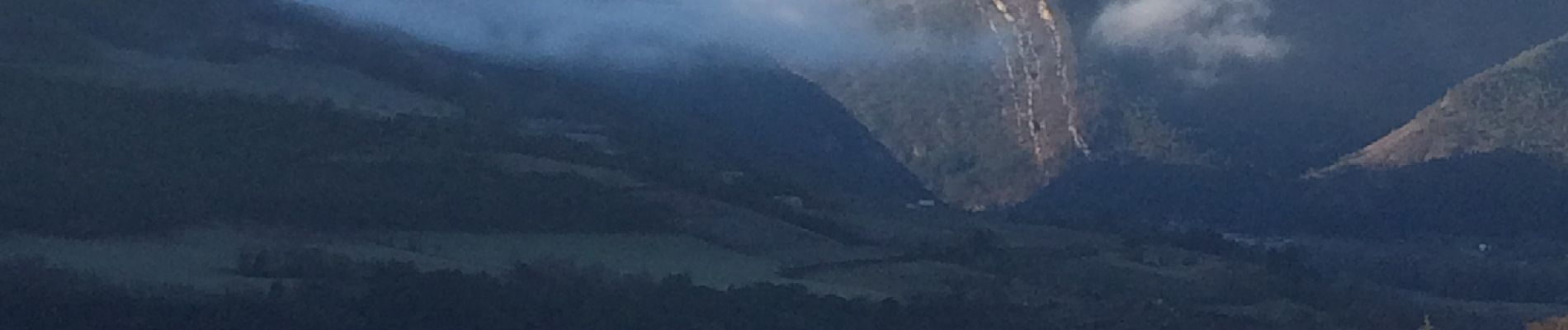
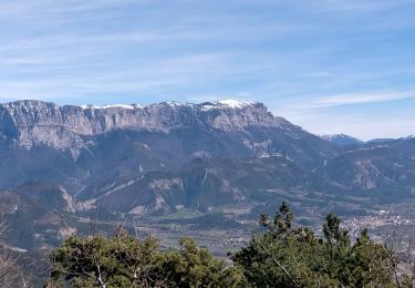
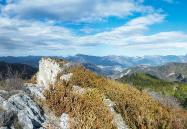
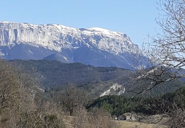
Jolis panoramas sur tout le parcours
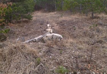
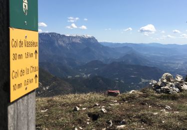
La 2eme photo représente une borne qui marque un sentier qui descend en direction des Chauds


Nordic walking

Walking
Walking
Walking
Walking
Walking
Walking
Walking
On foot