


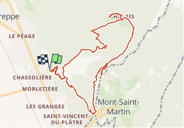

12.3 km | 25 km-effort

User


FREE GPS app for hiking
 SityTrail
IGN / Geographical institutes
SityTrail World
The world is yours!
Trail Walking of 12.9 km to be discovered at Auvergne-Rhône-Alpes, Isère, Voreppe. This trail is proposed by GuyVachet.
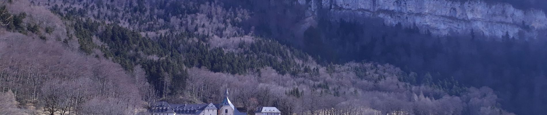
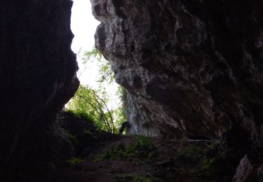
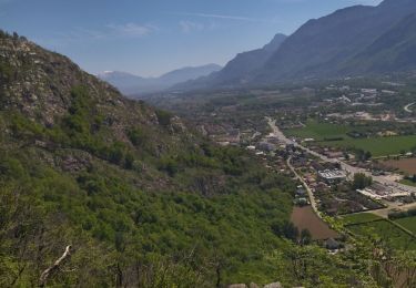
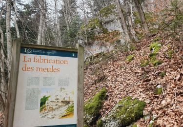
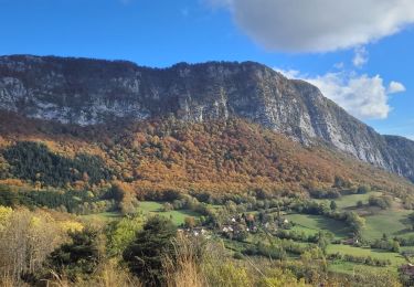
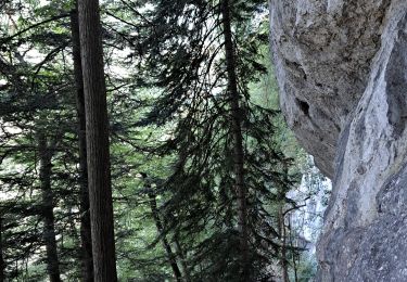
Boucle pour le monastère des dominicaines de Chalais au cœur du massif de la Chartreuse en montant par un sentier détourné. Départ à partir de la cimenterie désaffectée et rapidement la montée se fait en forêt par un sentier bien marqué coupant la route qui monte à Mont Saint-Martin. La Cheminée très bien équipée, a été explorée mais elle n'offre pas une vue dégagée à son sommet. Arrivé au monastère, il est très facile de faire la boucle supplémentaire jusqu'à l'Aiguille de Chalais et le magnifique panorama du Rocher de Bellevue (le bien nommé). La descente se fait par un petit sentier très agréable qui se termine en une large piste forestière.


Walking

Electric bike

Walking
Walking
Walking
Walking
Walking
Walking
Walking