


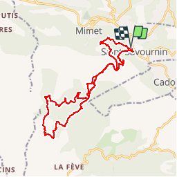

13.3 km | 20 km-effort


User


FREE GPS app for hiking
 SityTrail
IGN / Geographical institutes
SityTrail World
The world is yours!
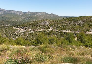
Trail Walking of 21 km to be discovered at Provence-Alpes-Côte d'Azur, Bouches-du-Rhône, Saint-Savournin. This trail is proposed by ARPF.
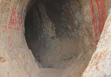
P2 T1 27/03/14 Philippe
Walking

Walking
Walking
Walking
Walking
Mountain bike
Mountain bike

Mountain bike

Walking