


19.8 km | 21 km-effort

User


FREE GPS app for hiking
 SityTrail
IGN / Geographical institutes
SityTrail World
The world is yours!
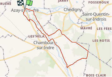
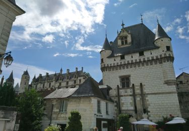
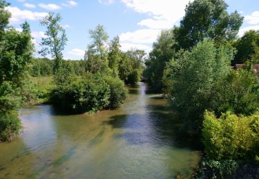
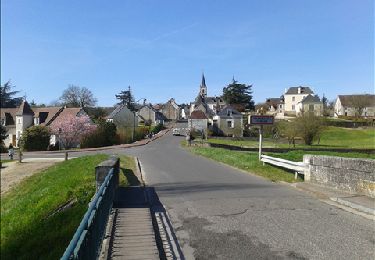
Trail Walking of 18.2 km to be discovered at Centre-Loire Valley, Indre-et-Loire, Azay-sur-Indre. This trail is proposed by Orcal37.
Azay-sur-Indre - GR46 jusqu'à L'Isle Auger - retour via Chambourg-sur-Indre puis PR - 18.2km 200m 2h55 (23mn) - 2021 03 06
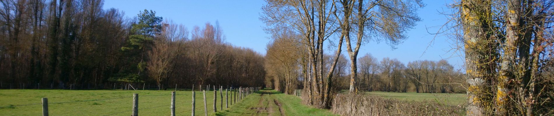
 - 2021 03 06 - Photo 1")
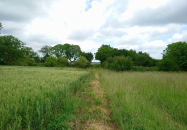
 - 2021 03 06 - Photo 2")
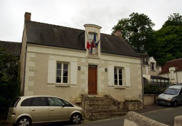
 - 2021 03 06 - Photo 3")
 - 2021 03 06 - Photo 4")
 - 2021 03 06 - Photo 5")
 - 2021 03 06 - Photo 6")
 - 2021 03 06 - Photo 7")
 - 2021 03 06 - Photo 8")
Walking

On foot
On foot
Walking
Walking

Walking
Walking

On foot
On foot