


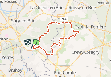

13.5 km | 15.2 km-effort

User


FREE GPS app for hiking
 SityTrail
IGN / Geographical institutes
SityTrail World
The world is yours!
Trail Walking of 28 km to be discovered at Ile-de-France, Val-de-Marne, Marolles-en-Brie. This trail is proposed by chessyca.
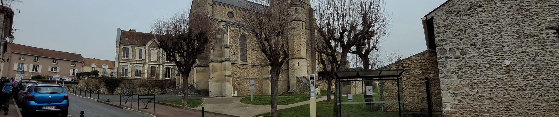
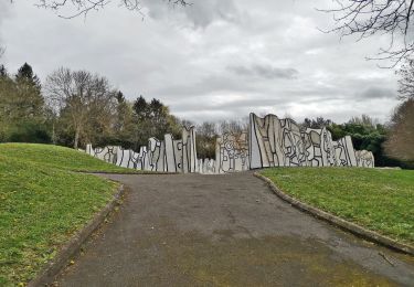
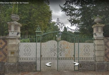
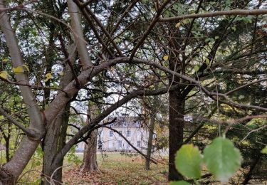
Sortie tracée par Roland pour le Rcy. Aucune difficulté sur le terrain et quelques passages pittoresques vers des monuments locaux , églises ou châteaux. Déjeuner sympa au bord de l'eau


Walking

Walking
On foot
On foot

Walking

Walking
Walking

On foot
On foot