


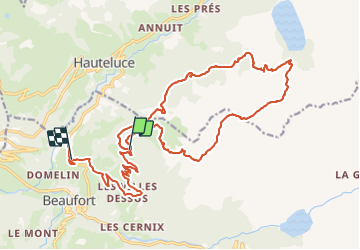

18.1 km | 28 km-effort

User


FREE GPS app for hiking
 SityTrail
IGN / Geographical institutes
SityTrail World
The world is yours!
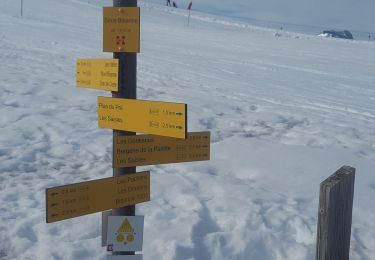
Trail Walking of 26 km to be discovered at Auvergne-Rhône-Alpes, Savoy, Beaufort. This trail is proposed by bill73.
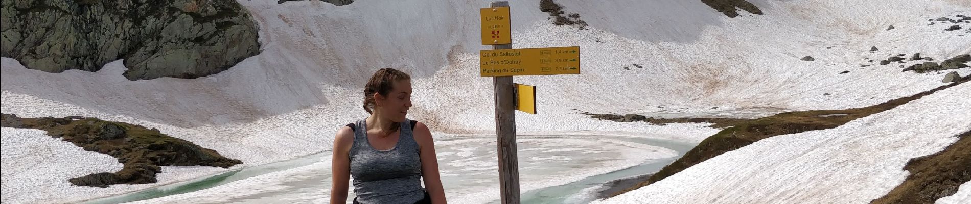
Rando avec Laetitia, bien marcher, rentré juste avant un petit orage, Lucki était avec nous également.
Bonne balade.


Walking

Walking

Walking

Walking
Walking
Snowshoes

Walking
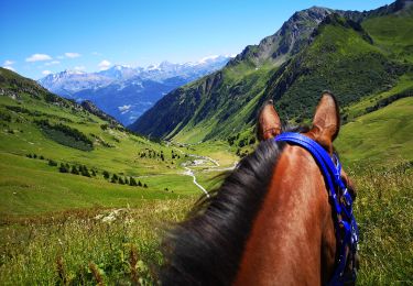
Horseback riding
Walking