


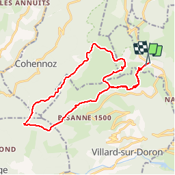

49 km | 74 km-effort

User


FREE GPS app for hiking
 SityTrail
IGN / Geographical institutes
SityTrail World
The world is yours!
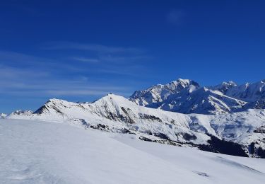
Trail Walking of 18.1 km to be discovered at Auvergne-Rhône-Alpes, Savoy, Hauteluce. This trail is proposed by syl_34.
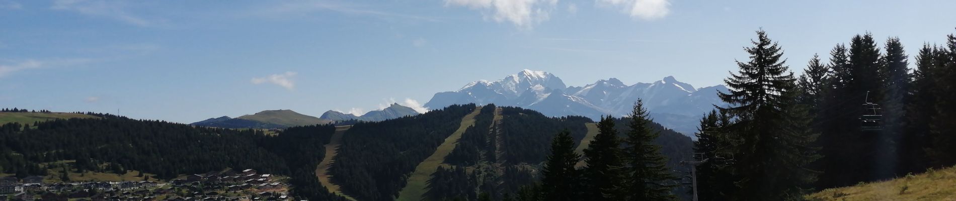
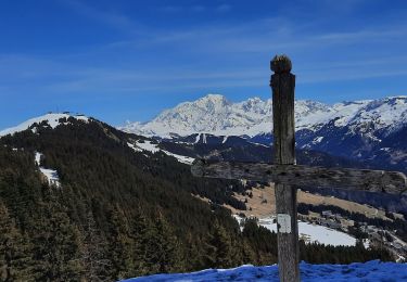
Belle rando avec très belle vue


Cycle

Mountain bike

Walking

Walking
Walking
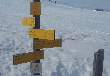
Snowshoes
Walking
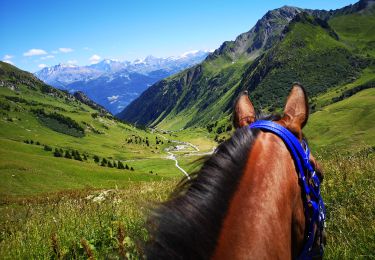
Horseback riding
Walking
Belle rando, pas de difficultées particulières. Très beau point de vue.