


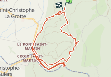

11.1 km | 17.4 km-effort


User


FREE GPS app for hiking
 SityTrail
IGN / Geographical institutes
SityTrail World
The world is yours!
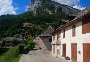
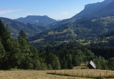
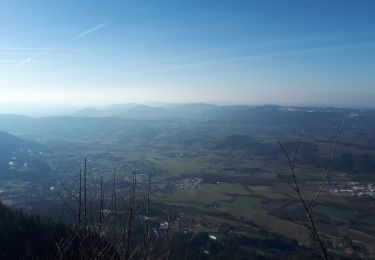
Trail Walking of 7.4 km to be discovered at Auvergne-Rhône-Alpes, Savoy, Saint-Christophe. This trail is proposed by cousam.
Visite
des 2 grottes de St Christophe (payantes)
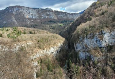
puis la boucle par le pont romain ,le point de vue sur les gorges de l'échaillon, le guiers vif.
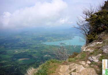
Fait un AR sur le sentier en balcon sur les gorges, jusqu'à une grotte ,apres ça ne passe pas ,faire demi tour .
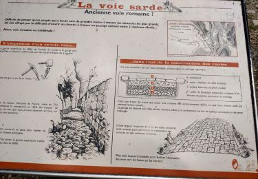
retour par le GR ,avec la visite de l'habitat préhistorique de la Fru.Et retour par les escaliers en fer (sympa)


Snowshoes
Walking

Walking
Walking
Walking

Walking
Walking
Walking
Walking