


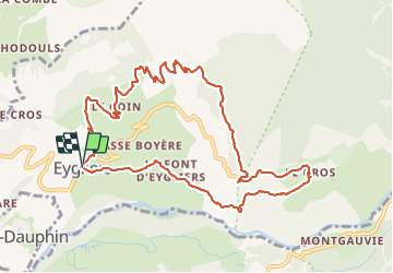

5.1 km | 7.9 km-effort


User


FREE GPS app for hiking
 SityTrail
IGN / Geographical institutes
SityTrail World
The world is yours!
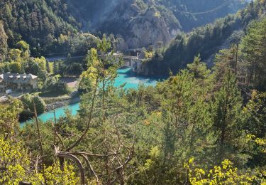
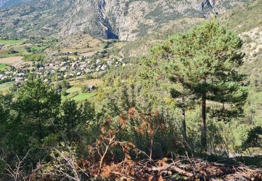
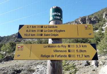
Trail Walking of 11.7 km to be discovered at Provence-Alpes-Côte d'Azur, Hautes-Alpes, Eygliers. This trail is proposed by annehc.
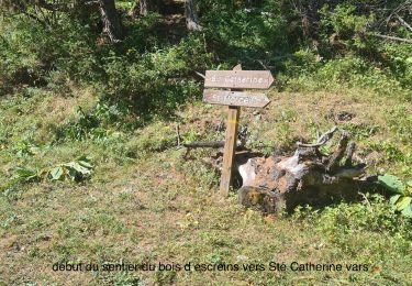
n7 topo queyras et guillestrois à pied
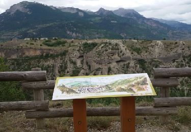
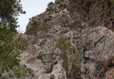
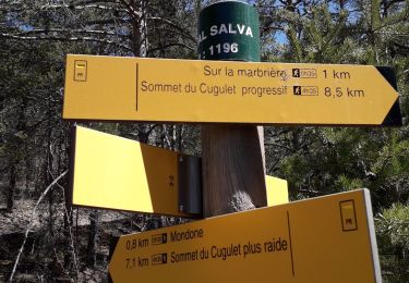
arrêt pique nique au top. descentes plus escarpées. trop de routes
Walking

Walking
Walking
Walking
Walking
Walking
Walking
Walking
Walking