


 - Photo 21")
 - Photo 22")
 - Photo 23")
 - Photo 24")
 - Photo 25")
 - Photo 26")
 - Photo 27")
 - Photo 28")
 - Photo 29")
 - Photo 30")
 - Photo 31")
 - Photo 32")
 - Photo 33")
 - Photo 34")
 - Photo 35")
 - Photo 36")
 - Photo 37")
 - Photo 38")
 - Photo 39")
 - Photo 40")
 - Photo 41")
 - Photo 42")
 - Photo 43")
 - Photo 44")
 - Photo 45")
 - Photo 46")
 - Photo 47")
 - Photo 48")
 - Photo 49")
 - Photo 50")
 - Photo 51")
 - Photo 52")
 - Photo 53")
 - Photo 54")
 - Photo 55")
 - Photo 56")
 - Photo 57")
 - Photo 58")
 - Photo 59")
 - Photo 60")
 - Photo 61")
 - Photo 62")
 - Photo 63")
 - Photo 64")
 - Photo 65")
 - Photo 66")
 - Photo 67")
 - Photo 68")
 - Photo 69")
 - Photo 70")
 - Photo 71")
 - Photo 72")
 - Photo 73")
 - Photo 74")
 - Photo 75")
 - Photo 76")
 - Photo 77")
 - Photo 78")
 - Photo 79")
 - Photo 80")
 - Photo 81")
 - Photo 82")
 - Photo 83")
 - Photo 84")
 - Photo 85")
 - Photo 86")
 - Photo 87")
 - Photo 88")
 - Photo 89")
 - Photo 90")
 - Photo 91")
 - Photo 92")
 - Photo 93")
 - Photo 94")
 - Photo 95")
 - Photo 96")
 - Photo 97")
 - Photo 98")
 - Photo 99")
 - Photo 100")

13 km | 28 km-effort

User


FREE GPS app for hiking
 SityTrail
IGN / Geographical institutes
SityTrail World
The world is yours!
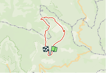
Trail Walking of 11.4 km to be discovered at Auvergne-Rhône-Alpes, Drôme, Châtillon-en-Diois. This trail is proposed by Philindy26.
Départ d'un parking sur la route du Vallon de Combau (D 515)...
Géolocalisation (Google Maps) : https://goo.gl/maps/7kKCkLdc8TQncueb8
Montée par le sentier (1307 m) qui part en face du lieu-dit "Sauts de l'eau".
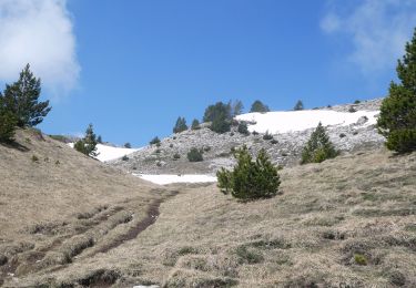
Pendant environ une heure, montée tout schuss à travers bois jusqu'au Pas de la Plane (1728 m).
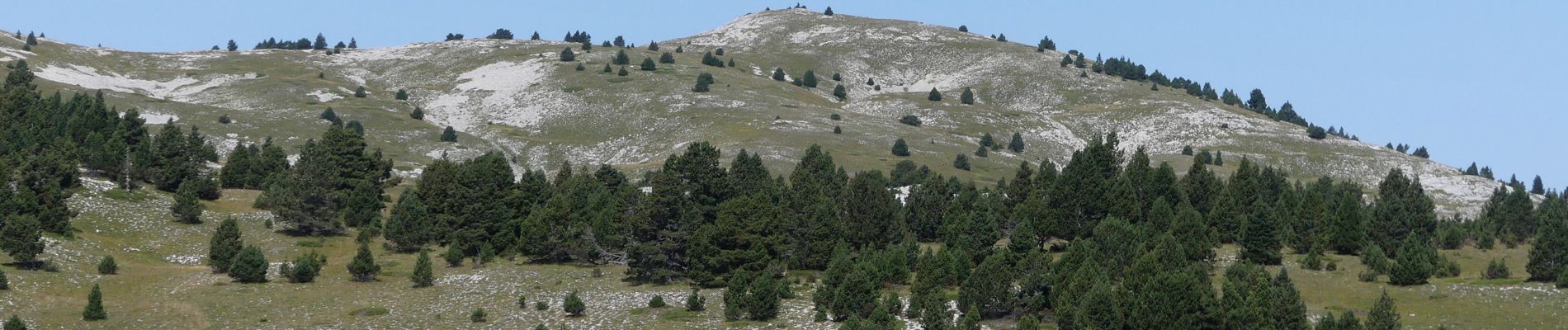
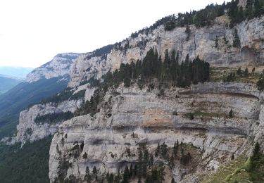
Là prendre au Nord à travers les Hauts Plateaux du Vercors en direction du Pas du Gris, du Pré Bouzat, la Fontaine Colombette.
Vous arriverez au sommet du Ranconnet (1961 m) et enfin à la Montagnette (1972 m).
Le retour s'effectue par le Pas de la Coche, le Vallon de Combau et la Bergerie de l'Essaure.
Arrivée au parking (présence d'une stèle), continuer par la route (D515) pour rejoindre le parking.
 - Photo 1")
 - Photo 2")
 - Photo 3")
 - Photo 4")
 - Photo 5")
 - Photo 6")
 - Photo 7")
 - Photo 8")
 - Photo 9")
 - Photo 10")
 - Photo 11")
 - Photo 12")
 - Photo 13")
 - Photo 14")
 - Photo 15")
 - Photo 16")
 - Photo 17")
 - Photo 18")
 - Photo 19")
 - Photo 20")
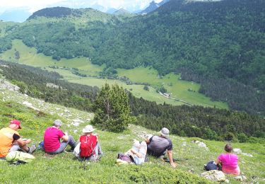
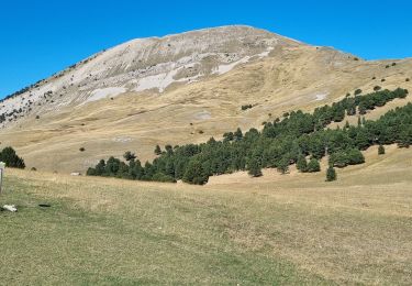
100 photos in total. Please click on a photo to see them all in the gallery.
Walking
Walking

Walking

Walking
Walking

Walking

Walking
Walking
Walking