


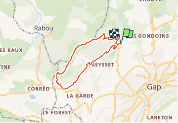

8.6 km | 18.5 km-effort

User


FREE GPS app for hiking
 SityTrail
IGN / Geographical institutes
SityTrail World
The world is yours!
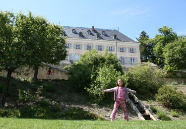
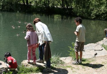
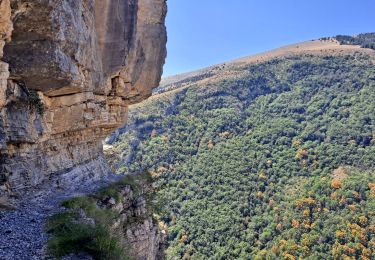
Trail Walking of 12.3 km to be discovered at Provence-Alpes-Côte d'Azur, Hautes-Alpes, Gap. This trail is proposed by Marco05.
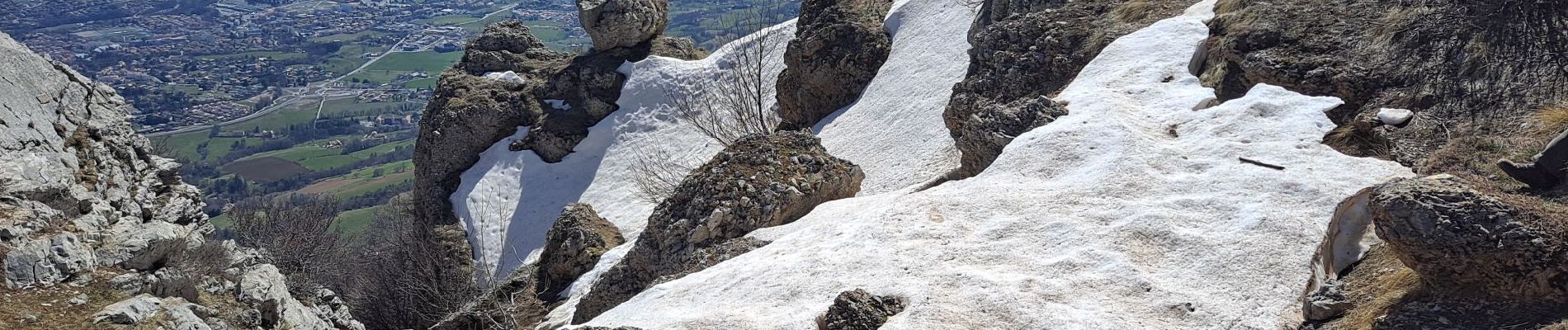
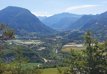
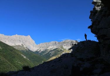
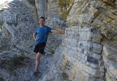
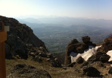
Randonnée longue et physique, mais sans problème technique.
On peut éviter la boucle en garant une voiture au lac de Charance et une autre au départ vers Corréo.


Walking
Walking
On foot
Walking
Walking
Walking
Walking

Walking
Walking