


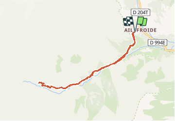


14.5 km | 28 km-effort

User


FREE GPS app for hiking
 SityTrail
IGN / Geographical institutes
SityTrail World
The world is yours!
Trail Walking of 9 km to be discovered at Provence-Alpes-Côte d'Azur, Hautes-Alpes, Vallouise-Pelvoux. This trail is proposed by Sigmut.
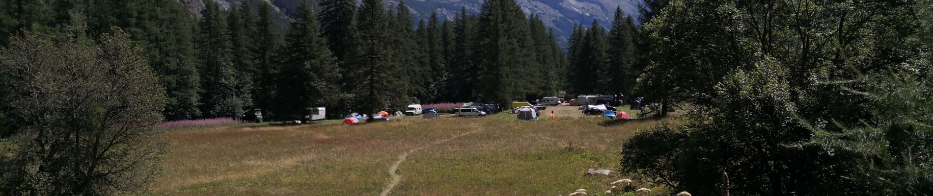
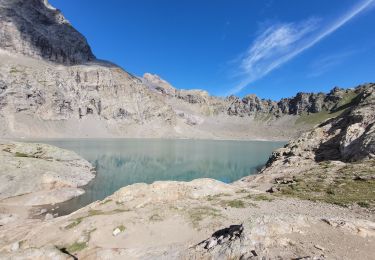
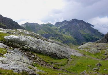
Rando coup de cœur avec rencontre de Chamois.
Randonnée avec des enfants (2 ans dans sac à dos et 4 ans).


23 photos in total. Please click on a photo to see them all in the gallery.

Walking

Walking

Walking
Walking

On foot

On foot

Walking

Walking
Walking