


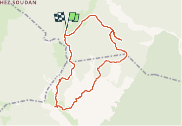


9 km | 15.6 km-effort

User


FREE GPS app for hiking
 SityTrail
IGN / Geographical institutes
SityTrail World
The world is yours!
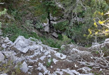
Trail Walking of 10.2 km to be discovered at Auvergne-Rhône-Alpes, Upper Savoy, Fillière. This trail is proposed by stef789.
piste pour arriver en voiture dénoncée attention. la randonnée pas fatiguante mais un peu cassante pour les jambes


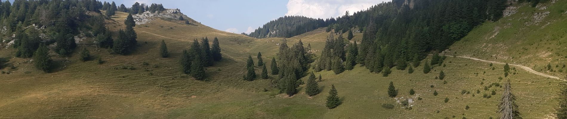
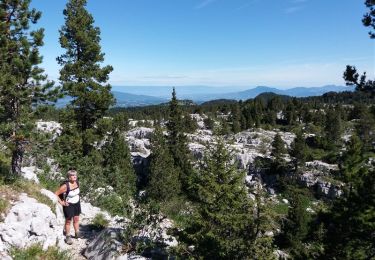
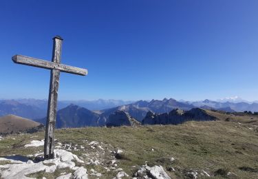
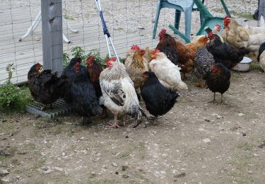
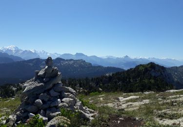
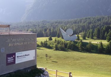
24 photos in total. Please click on a photo to see them all in the gallery.
Walking

Walking

Walking
Walking
Walking
Walking
On foot
Walking
Walking