


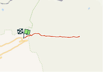

13.9 km | 27 km-effort


User


FREE GPS app for hiking
 SityTrail
IGN / Geographical institutes
SityTrail World
The world is yours!
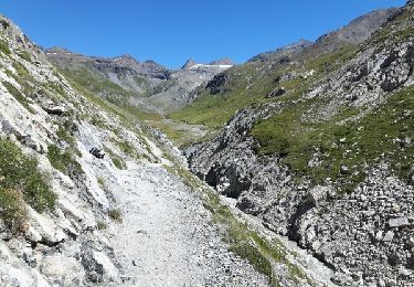
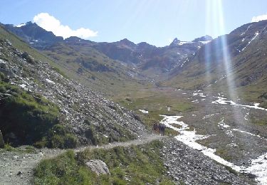
Trail Walking of 6.1 km to be discovered at Auvergne-Rhône-Alpes, Savoy, Val-d'Isère. This trail is proposed by OLYMP42.
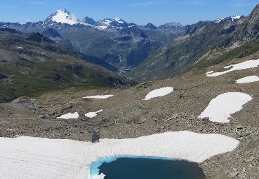
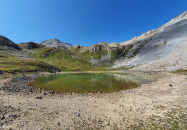
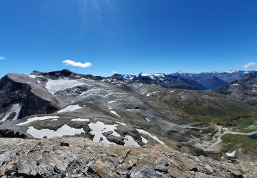
Rando au départ du pont St Charles, les 15 premières minutes sont les plus difficiles ; en arrivant au vallon avant le refuge, on est accompagné par les marmottes.


Walking
Walking

Walking

Walking
Walking

Walking

Walking
Walking
Walking