Trail Walking Reynès - taillet ( vallespir ) - Photo
 gogo1965
gogo1965

User

© OpenStreetMap contributors
Length
Length
6.3 km
Max alt
Max alt
441 m
Uphill gradient
Uphill gradient
232 m
Km-Effort
Km-Effort  
9.4 km
Min alt
Min alt
216 m
Downhill gradient
Downhill gradient
232 m
Boucle
Boucle
Yes
Creation date :
2022-10-02 10:29:59.278
Updated on :
2022-10-02 15:49:22.918

(0 Reviews)

Walking
Walking
2h08
Difficulty : Medium

Scan this QR Code to open this trail in the SityTrail application

FREE GPS app for hiking

Logo SityTrail SityTrail

IGN / Geographical institutes

Download SityTrail from the App Store Download SityTrail from Google Play

Logo SityTrail SityTrail World

The world is yours!

Download SityTrail from the App Store Download SityTrail from Google Play Download SityTrail on Huawei AppGallery

About

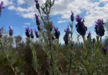
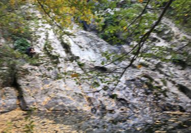
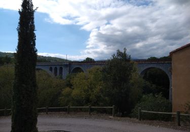
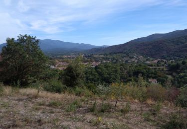
Trail Walking of 6.3 km to be discovered at Occitania, Pyrénées-Orientales, Reynès. This trail is proposed by gogo1965.

Description

petite boucle de taillet , mooie wandeling ,niet al te steile hellingen wegmarkering kan beter . Aanduiding voor kapel 🤔😥. Wij hebben ze mislopen

Elevation profile

Photos

Positioning

Country:
France
Region :
Occitania
Department/Province :
Pyrénées-Orientales
Municipality :
Reynès
Location:
Unknown
Start:(UTM)
476239 ; 4705660 (31T) N.

Trails nearby

Trail Walking Vivès - Le sentier de Vinés - Photo
Walking
bernarb

Walking

Easy
(2)
Vivès, Occitania, Pyrénées-Orientales, France
9.9 km | 13 km-effort
2h 54min
Yes
Trail Walking Vivès - Vives llauro  - Photo
Walking
GUIDE
antignacs

Walking

Very easy
Vivès, Occitania, Pyrénées-Orientales, France
8.2 km | 11.7 km-effort
2h 15min
Yes
Trail Walking Céret - Ermitage de saint ferreol - Photo
Walking
philippe66

Walking

Medium
(1)
Céret, Occitania, Pyrénées-Orientales, France
7.6 km | 10.4 km-effort
1h 59min
Yes
Trail Walking Céret - blacon de ceret via la cascade - Photo
Walking
philippe66

Walking

Medium
(3)
Céret, Occitania, Pyrénées-Orientales, France
10.1 km | 14.4 km-effort
3h 9min
Yes
Trail Walking Llauro - Col de Llauro- Roc del Quers - Photo
Walking
perittel

Walking

Easy
(1)
Llauro, Occitania, Pyrénées-Orientales, France
8.9 km | 12.9 km-effort
3h 11min
Yes
Trail Other activity Reynès - Reynes mine de talc+ cascade - Photo
Other activity
robertperello

Other activity

Difficult
(1)
Reynès, Occitania, Pyrénées-Orientales, France
8.5 km | 14.4 km-effort
2h 50min
Yes
Trail Walking Vivès - vives - Photo
Walking
66Gribouille83

Walking

Medium
Vivès, Occitania, Pyrénées-Orientales, France
9.1 km | 11.6 km-effort
3h 34min
Yes
Trail Walking Céret - st Ferriol - Photo
Walking
gogo1965

Walking

Easy
Céret, Occitania, Pyrénées-Orientales, France
8.2 km | 11.4 km-effort
2h 15min
Yes
Trail Walking Céret - le ventous ceret - Photo
Walking
gogo1965

Walking

Medium
Céret, Occitania, Pyrénées-Orientales, France
6 km | 8.9 km-effort
1h 41min
No


Close
My subscriptions