


18.1 km | 28 km-effort


User


FREE GPS app for hiking
 SityTrail
IGN / Geographical institutes
SityTrail World
The world is yours!
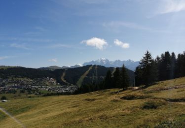
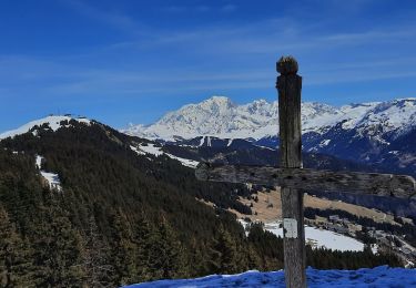
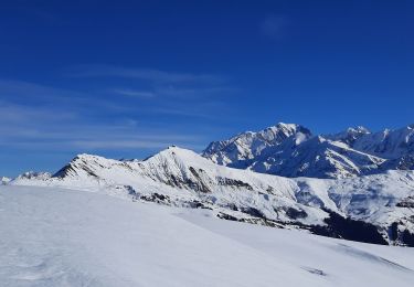
Trail Walking of 395 m to be discovered at Auvergne-Rhône-Alpes, Savoy, Beaufort. This trail is proposed by bill73.
Sortie ds la neige avec la carabine, trace de loup et un cochon.
Les jambes correct en haut 60 cm de neige.
Walking

Walking

Walking

Walking
Walking
Snowshoes
Walking
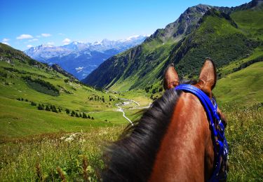
Horseback riding
Walking