


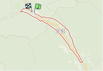

9.8 km | 12.6 km-effort


User


FREE GPS app for hiking
 SityTrail
IGN / Geographical institutes
SityTrail World
The world is yours!
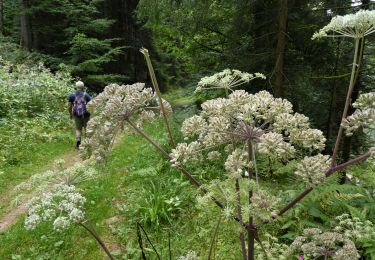
Trail On foot of 3.9 km to be discovered at Grand Est, Vosges, Ban-sur-Meurthe-Clefcy. This trail is proposed by lepompi.
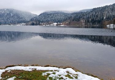
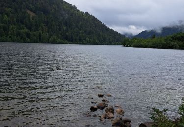
belle petite promenade le long de cette petite rivière.Peut être aurez vous la chance ,comme nous de voir des chamois sur le pierrer .
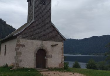
ATTENTION la fin du parcours est mal fléchée et vous entraîne dans une propriété privée le chemin part comme je l'ai tracé et vous trouverez un petit pont de bois pour franchir la riviére

Walking
Walking

Mountain bike
Horseback riding
Walking
Walking
Walking
Walking
