


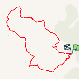

8.4 km | 11.7 km-effort

User


FREE GPS app for hiking
 SityTrail
IGN / Geographical institutes
SityTrail World
The world is yours!
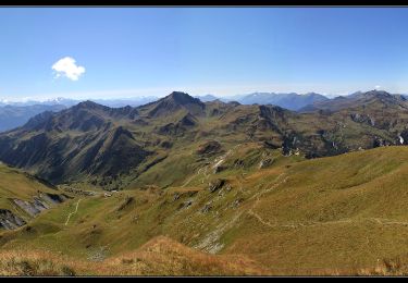
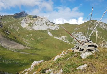
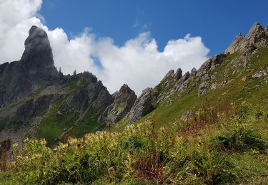
Trail Walking of 13 km to be discovered at Auvergne-Rhône-Alpes, Savoy, Aime-la-Plagne. This trail is proposed by pascal.heurteau.
Sentier des crêtes
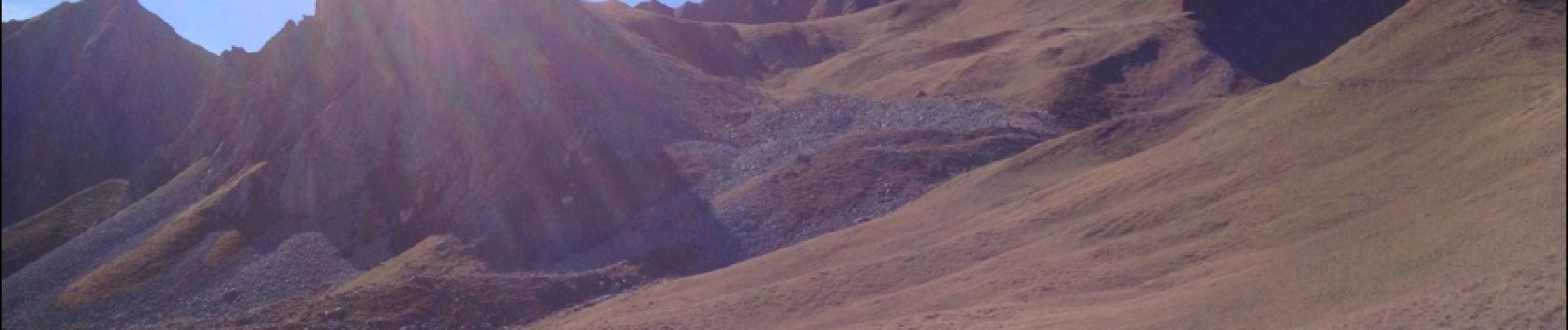
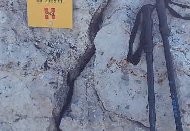
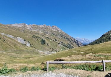
 par combe bénite - Photo 1")
 par combe bénite - Photo 2")
 par combe bénite - Photo 3")
 par combe bénite - Photo 4")
 par combe bénite - Photo 5")
 par combe bénite - Photo 6")
 par combe bénite - Photo 7")
 par combe bénite - Photo 8")
 par combe bénite - Photo 9")

Walking

Walking
Walking

Snowshoes
Walking
Walking
Walking
Walking
Walking