


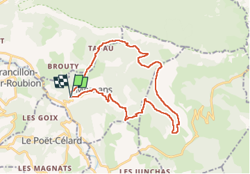

7.9 km | 11.2 km-effort

User


FREE GPS app for hiking
 SityTrail
IGN / Geographical institutes
SityTrail World
The world is yours!
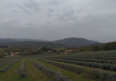
Trail Walking of 17.9 km to be discovered at Auvergne-Rhône-Alpes, Drôme, Mornans. This trail is proposed by ajd26.
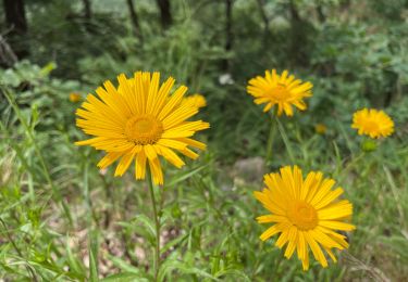
joli circuit, beaux points de vue
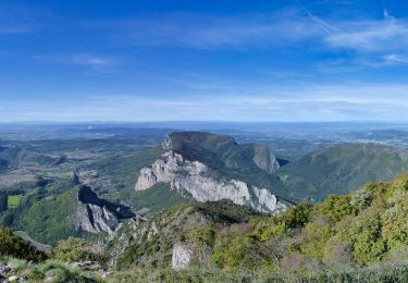
le tour de la combe de la Garde (km5,5) se termine par un joli défilé


Walking

Walking

Walking
Walking

Walking

Walking
Walking
Walking
Walking