


10.9 km | 16.8 km-effort

User


FREE GPS app for hiking
 SityTrail
IGN / Geographical institutes
SityTrail World
The world is yours!
Trail Walking of 5 km to be discovered at Auvergne-Rhône-Alpes, Drôme, Francillon-sur-Roubion. This trail is proposed by bob2023.
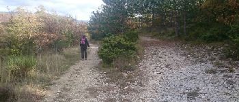
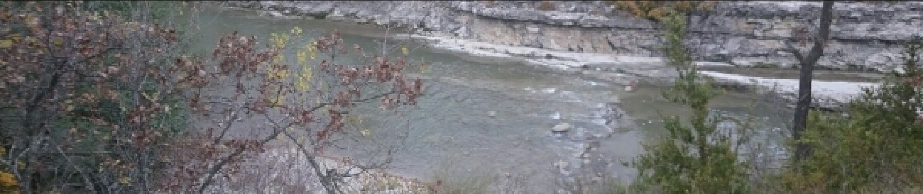
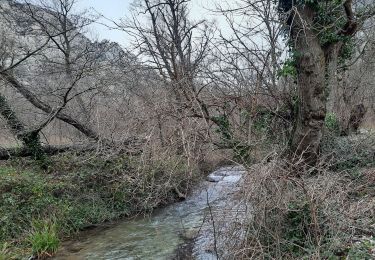
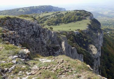
très belle balade au pied du versant sud de la foret de Saou, la première partie longe le roubion,quelques rochers à descendre peuvent poser des difficultés aux personnes âgées, possibilité de baignade l'été.
ATTENTION NE PAS FAIRE EN PERIODE DE CRUE.
La deuxieme partie et en sous bois et clairieres avec de magnifiques vues sur les trois becs et Roche colombe.
Bien suivre le balisage jaune et les triangles jaune n°66. parfois le tracé ne figure pas sur les cartes IGN, mais le sentier bien marqué ne pose pas de difficultés. Il faudra bien sur au point n°10 suivre la direction de francillon à droite (reste 2 km).
Bonne promenade.


Walking

Walking
Walking

Walking

Walking

Walking
Walking
Walking
Walking
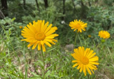
joli