


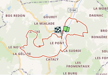

5.3 km | 6.9 km-effort


User


FREE GPS app for hiking
 SityTrail
IGN / Geographical institutes
SityTrail World
The world is yours!
Trail Walking of 11 km to be discovered at New Aquitaine, Dordogne, Villac. This trail is proposed by swp648.
Boucle du village rouge allongée en direction de Louignac (D64)

Walking
Walking

Walking
Walking
Walking
Walking
Walking
Walking
Walking
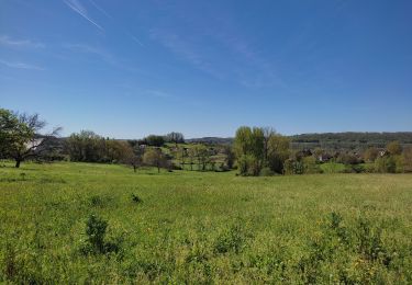
Très belle randonnée