


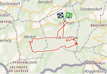

13.1 km | 21 km-effort


User


FREE GPS app for hiking
 SityTrail
IGN / Geographical institutes
SityTrail World
The world is yours!
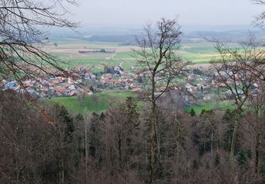
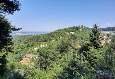
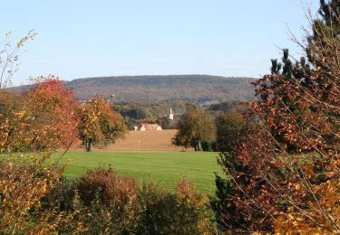
Trail Walking of 15.6 km to be discovered at Grand Est, Haut-Rhin, Ligsdorf. This trail is proposed by boubou68.
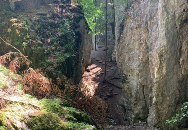
une partie du circuit emprunté dew chemins " noirs " non reconnus !

Walking
Walking
Walking

Equestrian
Cycle
Walking

Walking

Horseback riding