


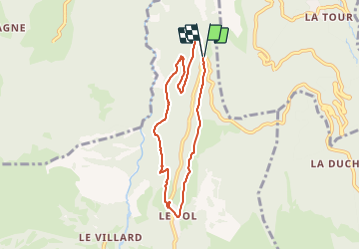

15.5 km | 29 km-effort


User


FREE GPS app for hiking
 SityTrail
IGN / Geographical institutes
SityTrail World
The world is yours!
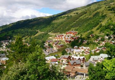
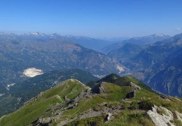
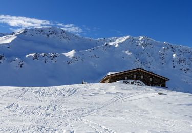
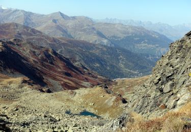
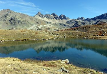
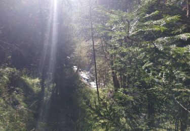
Trail On foot of 7.1 km to be discovered at Auvergne-Rhône-Alpes, Savoy, Valloire. This trail is proposed by nicolas54230.
Walking

Walking
Walking

Walking
Walking
Snowshoes
Walking
Walking
Walking
Chaussures de marche conseillées: passages dans des pierriers pentus.