


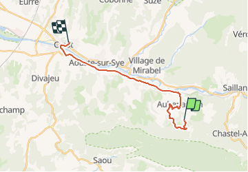

22 km | 40 km-effort

User


FREE GPS app for hiking
 SityTrail
IGN / Geographical institutes
SityTrail World
The world is yours!
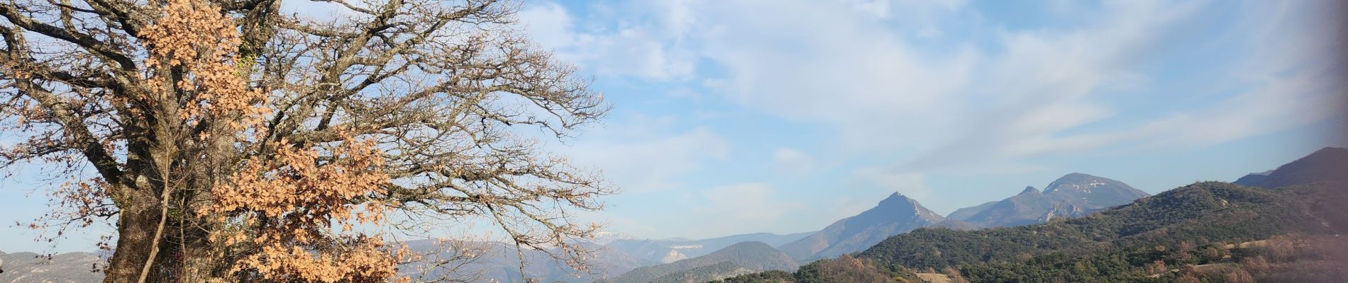
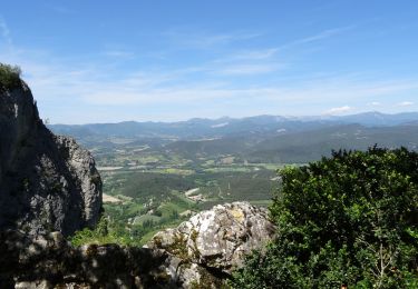
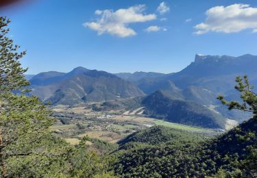
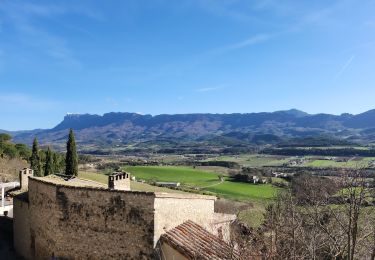
Trail Walking of 19.7 km to be discovered at Auvergne-Rhône-Alpes, Drôme, Aubenasson. This trail is proposed by Fanchon_24.
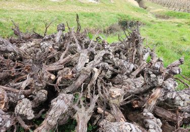
pour l'essentiel chemin de piste mais avec une bonne montée sur sentier étroit en forêt. beaucoup de chemins pierreux.


Walking
Walking

Walking

Mountain bike
Walking

Walking
Walking
Walking
Walking