


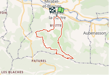


10.9 km | 16.8 km-effort

User


FREE GPS app for hiking
 SityTrail
IGN / Geographical institutes
SityTrail World
The world is yours!
Trail Walking of 14.9 km to be discovered at Auvergne-Rhône-Alpes, Drôme, Piégros-la-Clastre. This trail is proposed by bob2023.
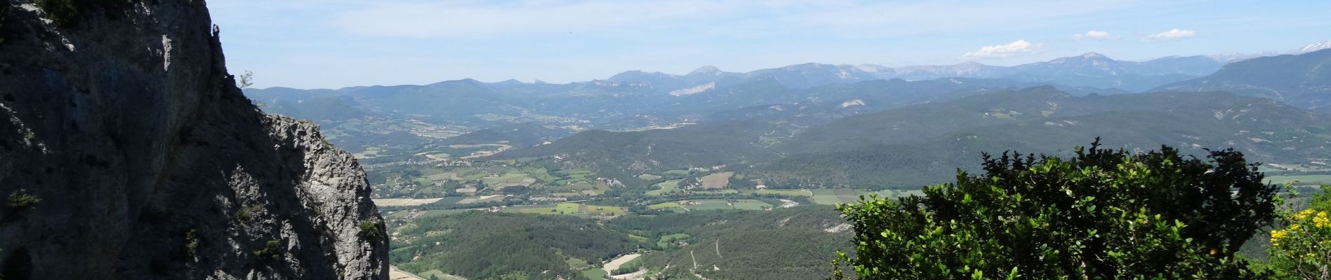
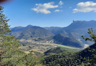
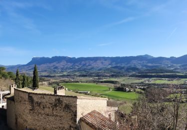
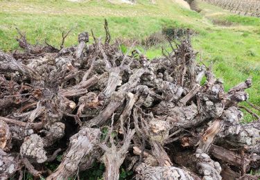
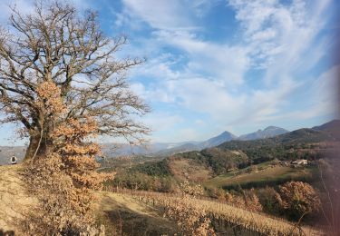
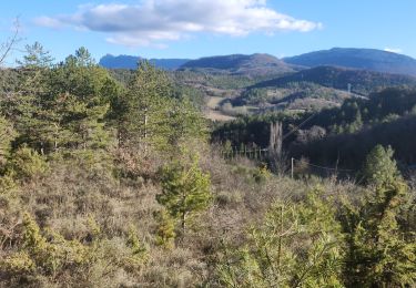
Magnifique randonnée avec végétations variées et points de vue remarquables. Début tranquille dans un cadre superbe pour devenir de plus en plus soutenue jusqu'à la chapelle St MEDARD mais sans réelle difficulté. La descente sera plus difficile du fait d'un dénivelé important.
Respecter les propriétés privées traversées en fin de randonnée.
Toujours bien suivre le balisage jaune tout au long de la randonnée.
PS : Attention parfois le guidage GPS a un décalage avec la carte IGN, Se baser toujours au balisage jaune en cas de doute.


Walking

Walking
Walking

Mountain bike
Walking
Walking
Walking
Walking

Walking