


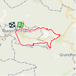


12.6 km | 16.9 km-effort

User


FREE GPS app for hiking
 SityTrail
IGN / Geographical institutes
SityTrail World
The world is yours!
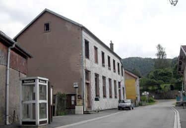
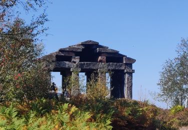
Trail Walking of 10.8 km to be discovered at Grand Est, Vosges, Raon-sur-Plaine. This trail is proposed by darkw.
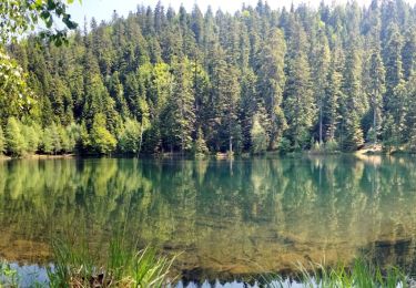
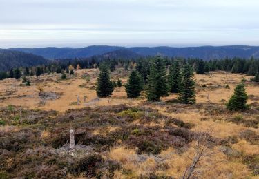
Raon sur Plaine, par Chaudes Roches, lac aux libellules, le Donon, les Hautes Abraye, les Oberlé, Glacimont, Raon sur Plaine.


Walking

Walking

Walking
Walking
Walking
On foot
Walking

Walking

Walking