


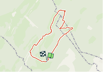

5.7 km | 11.2 km-effort


User


FREE GPS app for hiking
 SityTrail
IGN / Geographical institutes
SityTrail World
The world is yours!
Trail Walking of 8.8 km to be discovered at Vaud, District de Nyon, Bassins. This trail is proposed by tonymeyer.
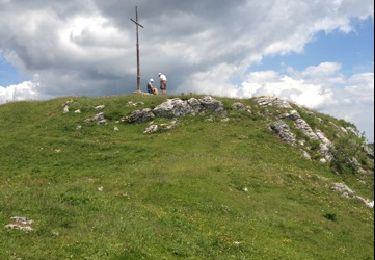
Ballade facile sur pistes, sentiers pédestres et un bout de route. Vue imprenable sur le Léman et les Alpes depuis la Fontaine des Rochers.
Monter la Route de la Montagne depuis Bassins et laisser la voiture en débouchant e la forêt à l'altitude 1128m (parking à droite de la route).
On foot
Walking
Walking
Walking

Other activity

Walking
Walking
Walking
Walking