


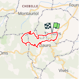

9.9 km | 13 km-effort


User


FREE GPS app for hiking
 SityTrail
IGN / Geographical institutes
SityTrail World
The world is yours!
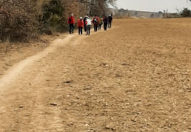
Trail Walking of 11.9 km to be discovered at Occitania, Pyrénées-Orientales, Tordères. This trail is proposed by jeff66.
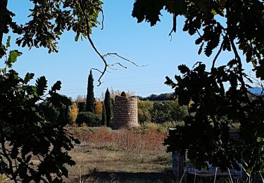
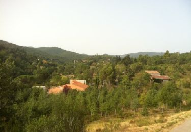
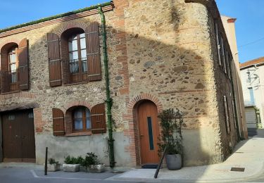
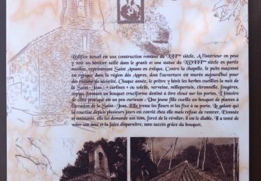
66 TORDÈRES - parking de la mairie. Place mayor, église, route de Fourques, D23, chemin de la Mona, cimetière, vue sur la plaine, Hortells del Costelats - vue sur LLAURO et les Albères, cabana del Moro, Fontaine des écureuil, piste DFCI AL17bis, Aguals, correc del coma, Torrer blanc - piste envol deltaplane - pylône ASF - correc del Torrer blanco - correc de la Selva - piste DFCI A12, puis A14, P.E.446, et piste A16 - coll del PUIG - piste DFCI A18 - correc dels Socarrats Vells - Lecolier - TORDÈRES


Walking
Walking

Walking

Walking
Walking
Walking
Walking

Walking
Walking