


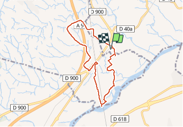

12.7 km | 13.9 km-effort


User


FREE GPS app for hiking
 SityTrail
IGN / Geographical institutes
SityTrail World
The world is yours!
Trail Walking of 7.7 km to be discovered at Occitania, Pyrénées-Orientales, Banyuls-dels-Aspres. This trail is proposed by jeff66.
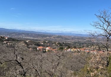
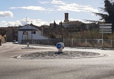
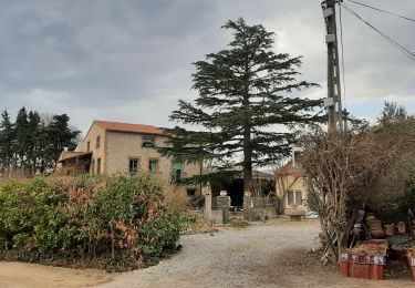
66 LE BOULOU - plans de NIDOLÈRES - poste électrique - auberge - vue sur les Albères - hameau de NIDOLÈRES, rue St éloi, place st Étienne, mas ste Lucie, rue du moulin, mon. Ste Lucie - le Tech - ouvrage d'art et piste le long de la ligne TGV - pla de NIDOLÈRES - noeud auto-ferroviaire, passage sous la ligne TGV, traverser la ligne SNCF classique, la longer à côté de la RN9, jusqu'au rond point - El mas d'en Gaspar - mas Roca - mas Maillols - pont au dessus de l'A9 - mas d'en Costaseca - mas de la Palla - la Creu Verda


Walking

Walking

Walking

Walking
Walking
Walking
Walking
Walking

Walking