


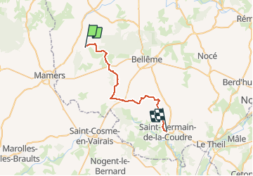

11.1 km | 13.8 km-effort


User


FREE GPS app for hiking
 SityTrail
IGN / Geographical institutes
SityTrail World
The world is yours!
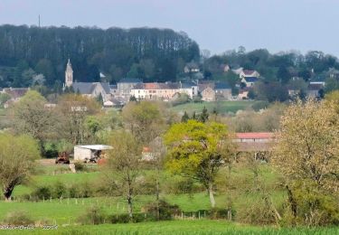
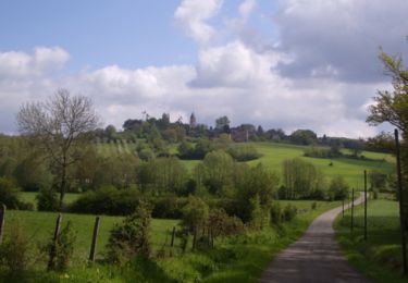
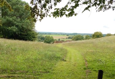
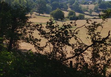
Trail Walking of 27 km to be discovered at Normandy, Orne, Belforêt-en-Perche. This trail is proposed by togolo28.
Le Tour des Collines du Perche à été réalisé par l'association « Itinéraires Ruraux » de Pervenchères (orne).Vous pouvez consulter leur site internet :http://itinerairesduperche.org
Walking
Walking

Walking
Walking
Walking
Walking
Walking
Walking

Car