


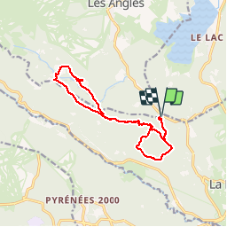

13.3 km | 19.3 km-effort

User


FREE GPS app for hiking
 SityTrail
IGN / Geographical institutes
SityTrail World
The world is yours!
Trail Walking of 15.1 km to be discovered at Occitania, Pyrénées-Orientales, La Llagonne. This trail is proposed by crijack.
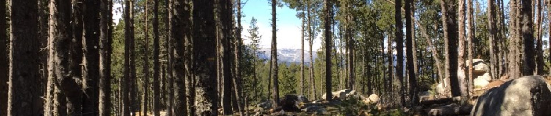
Randonnée sympa en forêt pentes douces et beaux points de vues surtout au refuge du Pla del Buc


Walking

Snowshoes

Snowshoes

Walking

Snowshoes

Walking

Mountain bike
Walking

Walking
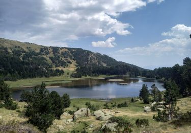
Superbes paysages. Rando sympa et facile.