


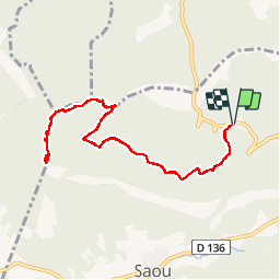


5 km | 6.7 km-effort

User


FREE GPS app for hiking
 SityTrail
IGN / Geographical institutes
SityTrail World
The world is yours!
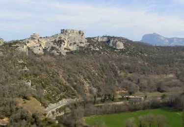
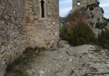
Trail Walking of 10.9 km to be discovered at Auvergne-Rhône-Alpes, Drôme, Saou. This trail is proposed by bob2023.
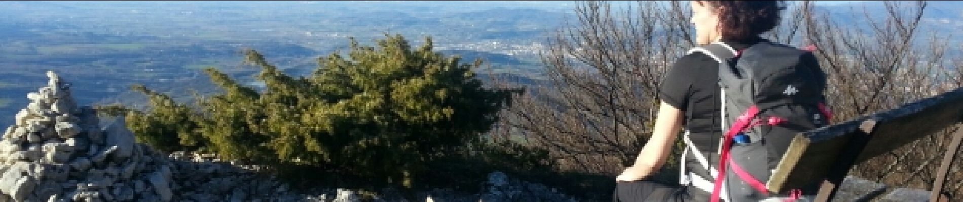
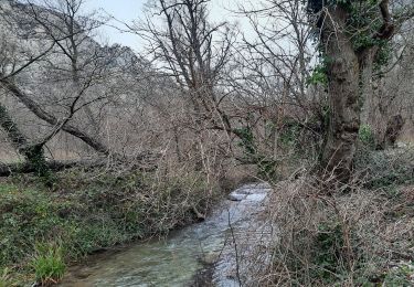
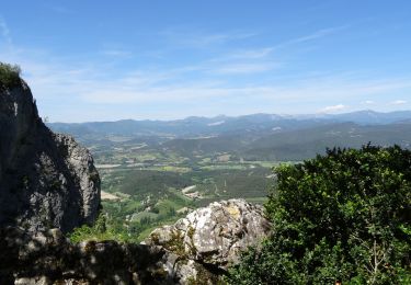
aller-retour très joli avec une belle vue au sommet sur tout le vercors et la vallée du Rhône. Courte montée soutenue après le pas de l'Echelette. Se garer à la Bergerie Paturel prendre le chemin forestier qui monte doucement vers le pas de l'Echelette (suivre sentier VTT)


Walking

Walking
Walking
Walking

Walking

Walking

Walking
Walking
Walking