


11 km | 19.3 km-effort

User


FREE GPS app for hiking
 SityTrail
IGN / Geographical institutes
SityTrail World
The world is yours!
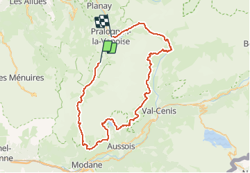
Trail Walking of 74 km to be discovered at Auvergne-Rhône-Alpes, Savoy, Pralognan-la-Vanoise. This trail is proposed by PatRando.
Du 14 au 19 Août 2016
Les Prioux
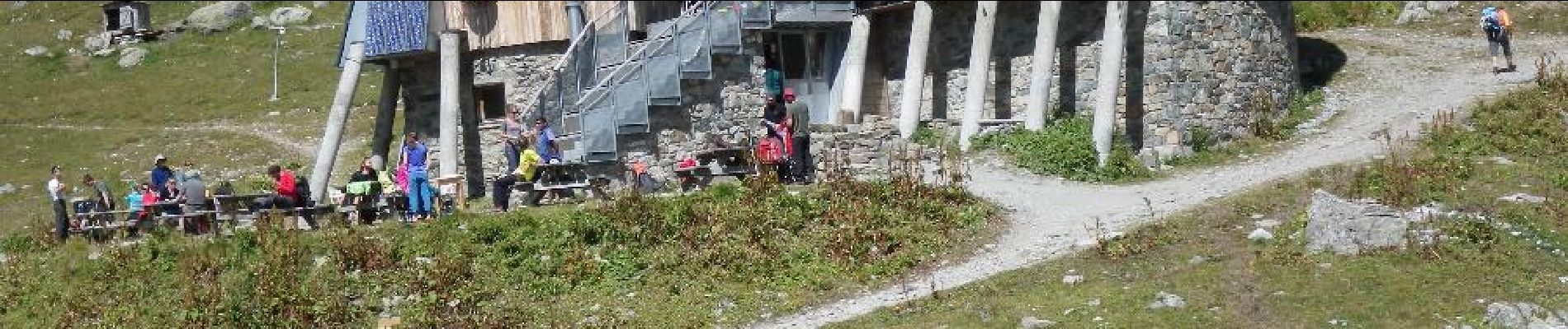
Refuge de Péclet Polset
Refuge de l'Orgère
Refuge de Plan Sec
Refuge de l'Arpont
Refuge Entre Deux Eaux


Walking

Walking

Walking

Walking

Walking

Walking

Walking

Walking

Walking