


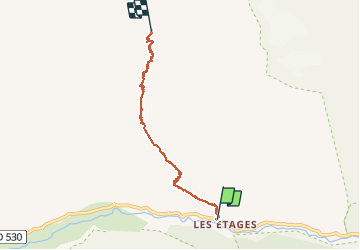


16 km | 31 km-effort

User


FREE GPS app for hiking
 SityTrail
IGN / Geographical institutes
SityTrail World
The world is yours!
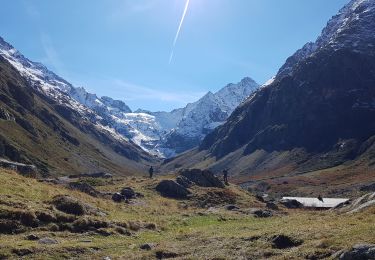
Trail Walking of 5.6 km to be discovered at Auvergne-Rhône-Alpes, Isère, Saint-Christophe-en-Oisans. This trail is proposed by RD78-38.
Pente du début soutenu (1h00 environ), suivie d'une pente plus raide (1h00 environ), derniére partie : pente moyenne. Ce circuit ne présente aucune difficulté technique ni de passages délicats. En revanche : paysages magnifique tout au long du trajet ( cascades, glaciers, pic de DIVONA au pied duquel se trouve le REFUGE du SORIER). Circuit à faire absolument! Possibilité de passer la nuit au refuge pour récupérer des 1100m de dénivelé et des 3h30 de montée ( la durée indiqué sur le SITY GUIDE inclue les 30 mn d'arrêt photos et admiration du paysage lors d'une halte boisson).


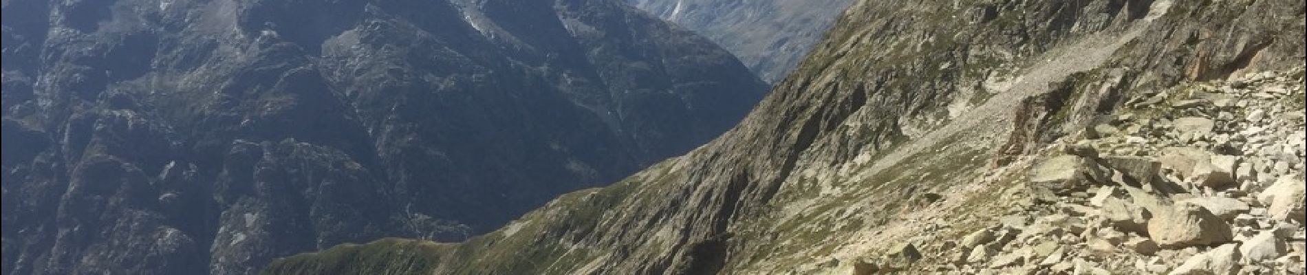
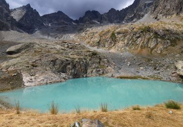
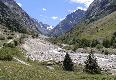
39 photos in total. Please click on a photo to see them all in the gallery.
Walking
Walking
Walking

Walking

Walking

Walking

Walking
Walking

Walking