


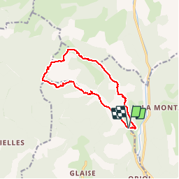

9.1 km | 14.9 km-effort


User


FREE GPS app for hiking
 SityTrail
IGN / Geographical institutes
SityTrail World
The world is yours!
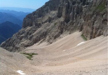
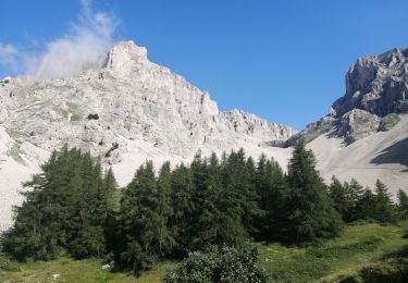
Trail Walking of 12.6 km to be discovered at Provence-Alpes-Côte d'Azur, Hautes-Alpes, Montmaur. This trail is proposed by rigol05.
Sortie du 05/10/2017
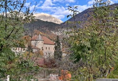
Belle randonnée, le passage entre le Villaret (ruine)et le Rocher Chabrière est délicat. Le sentier se perd dans le sous-bois, une trace gps facilite l'orientation.

Walking
Walking

Mountain bike
Walking
Walking

Walking
Walking
Walking
Walking