


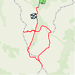


9.8 km | 17 km-effort


User


FREE GPS app for hiking
 SityTrail
IGN / Geographical institutes
SityTrail World
The world is yours!
Trail Walking of 19.2 km to be discovered at Provence-Alpes-Côte d'Azur, Maritime Alps, Saint-Dalmas-le-Selvage. This trail is proposed by Dervalmarc.
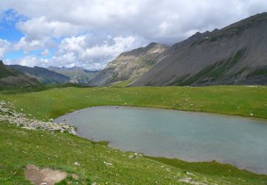
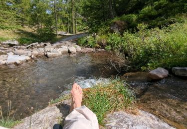
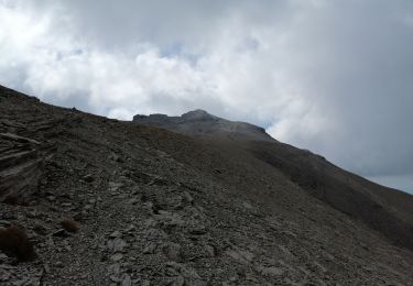
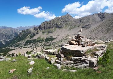
Randonnée sur deux jours.
Le premier jour ,monté au refuge de Gialorgue et aux lacs et au col de Roche troué.
6km700 et 650m de dénivelé depuis le parking de Valloar.
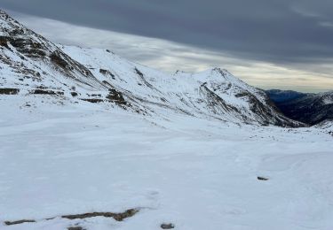
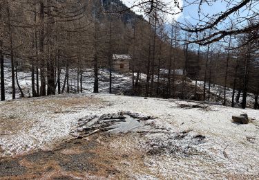
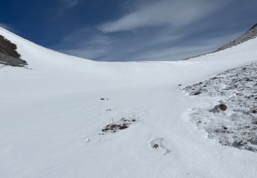
Deuxième jour.
Traversée des Cimes de la Gorgia,Bolofre,pointe de l'Escaillon,Cime de Pal.


21 photos in total. Please click on a photo to see them all in the gallery.
On foot
Snowshoes
Snowshoes
Walking
Snowshoes
Walking
Walking
Walking
Walking