


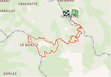

10.2 km | 17.6 km-effort

User


FREE GPS app for hiking
 SityTrail
IGN / Geographical institutes
SityTrail World
The world is yours!
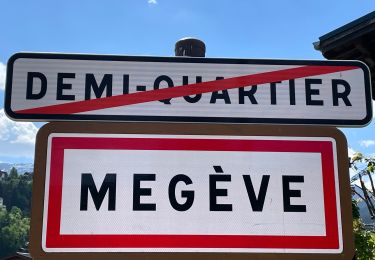
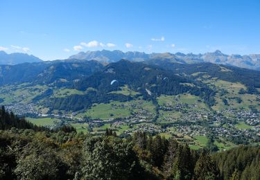
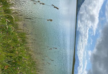
Trail Other activity of 11.1 km to be discovered at Auvergne-Rhône-Alpes, Upper Savoy, Megève. This trail is proposed by jgautier.


Walking
Walking

Mountain bike

Walking
Touring skiing
Walking
On foot
Walking
Walking
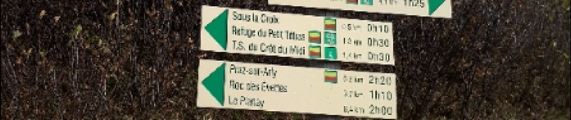
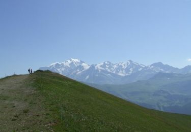
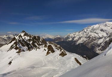
belles grimpettes au sommet et un 360 splendide