


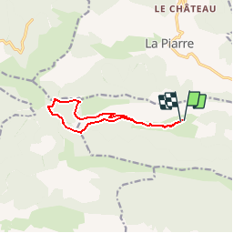


20 km | 33 km-effort

Les Hautes Alpes à découvrir ! GUIDE+


FREE GPS app for hiking
 SityTrail
IGN / Geographical institutes
SityTrail World
The world is yours!
Trail Walking of 10.5 km to be discovered at Provence-Alpes-Côte d'Azur, Hautes-Alpes, Sigottier. This trail is proposed by Camping Les Rives du Lac.
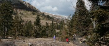
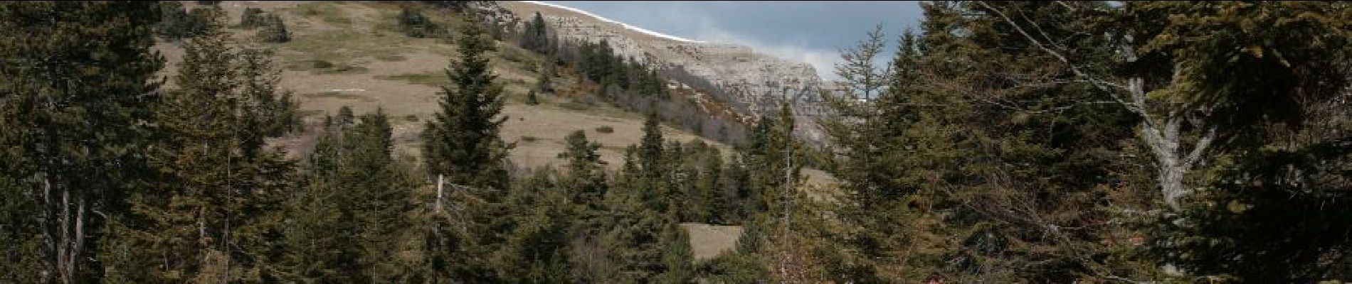
From the farm of the Mountain, this hike allows you to access the pastures located under the mountain of Duffre. In order to shorten the first part and allow to extend the ascent to the Duffre (obvious path arriving at the pass), we advise you to go by car to the end of the tarred forest road


Walking
Mountain bike

Mountain bike

Walking

Walking
Walking
Walking
Walking
Walking