


5.5 km | 10.3 km-effort

Les Hautes Alpes à découvrir ! GUIDE+


FREE GPS app for hiking
 SityTrail
IGN / Geographical institutes
SityTrail World
The world is yours!
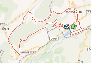
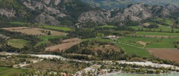
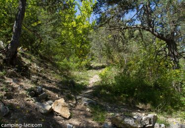
Trail Mountain bike of 16.7 km to be discovered at Provence-Alpes-Côte d'Azur, Hautes-Alpes, Veynes. This trail is proposed by Camping Les Rives du Lac.
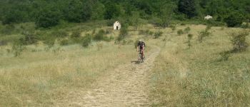
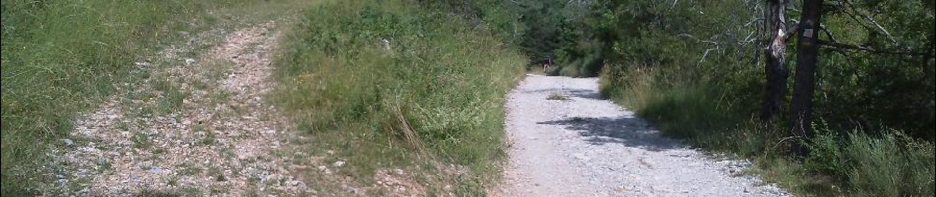
For a first approach to trail biking, which connoisseurs now call "single track" or "single", as opposed to broad forest tracks. The part on "single" is done on the descent, and thus allows to learn to drive his bike accurately, without danger because the trail is not exposed.


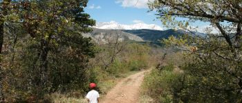
Walking

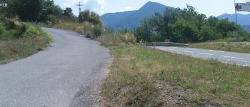
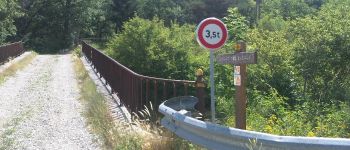
Mountain bike

Mountain bike

Mountain bike

Mountain bike

Walking

Walking

Walking

Walking
Bien