


5.5 km | 10.3 km-effort

Les Hautes Alpes à découvrir ! GUIDE+


FREE GPS app for hiking
 SityTrail
IGN / Geographical institutes
SityTrail World
The world is yours!
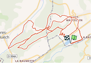
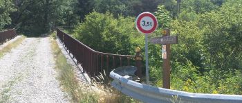
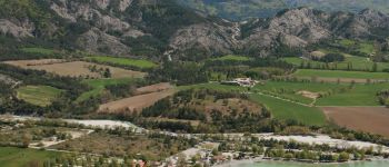
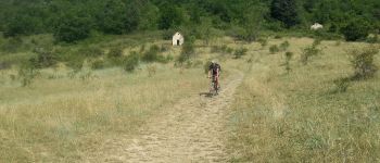
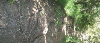
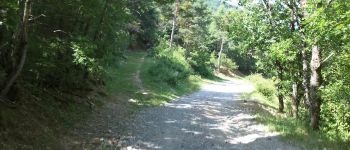
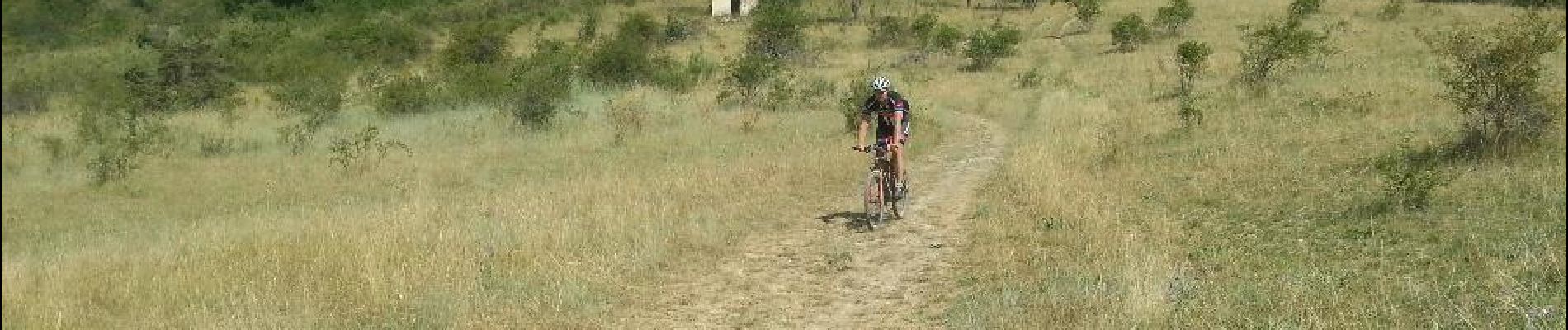
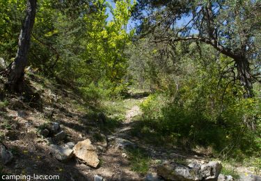
Trail Mountain bike of 23 km to be discovered at Provence-Alpes-Côte d'Azur, Hautes-Alpes, Veynes. This trail is proposed by Camping Les Rives du Lac.
You only have two hours and want to have fun on Single Track? This is the ideal hike! Starting from the campsite, a magnificent playground is available to you!
For all levels!


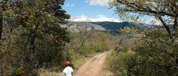
Walking

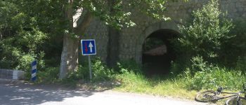
Mountain bike

Mountain bike

Mountain bike

Mountain bike

Walking

Walking

Walking

Walking
super ballade! mais quelques portions compliquées pour un parcours facile .