


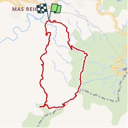

9.3 km | 14.9 km-effort

User


FREE GPS app for hiking
 SityTrail
IGN / Geographical institutes
SityTrail World
The world is yours!
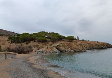
Trail Walking of 8.2 km to be discovered at Occitania, Pyrénées-Orientales, Banyuls-sur-Mer. This trail is proposed by force.
Petite rando dans les vignes en terrasse et descente sur la crête sauvage


Walking

Walking

Walking

Walking

Walking
Walking
Walking
Walking
Walking