


37 km | 53 km-effort
Mountain bike
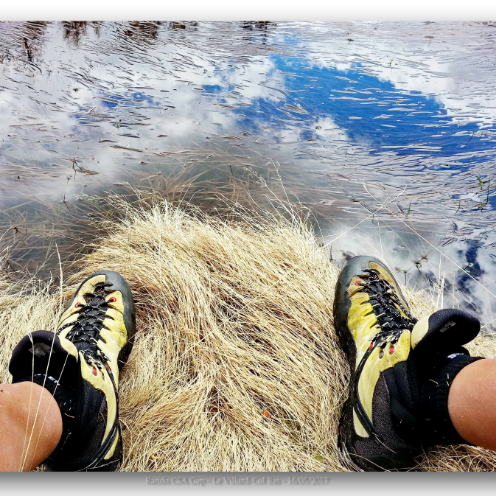
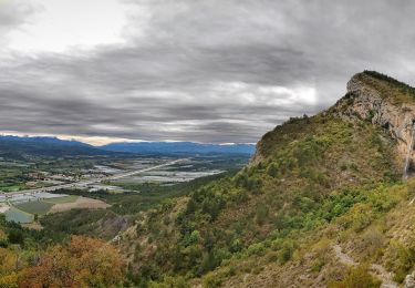
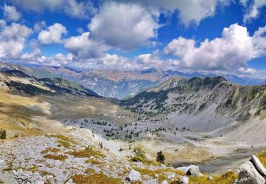
Walking
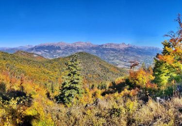
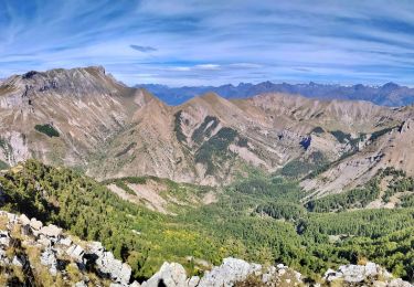
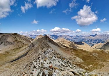
Walking
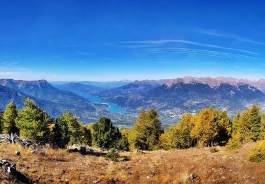
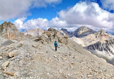
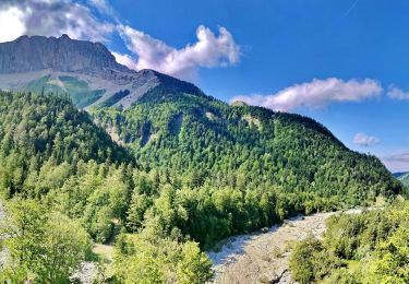
Walking
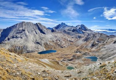
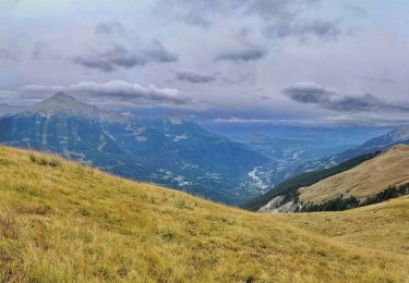
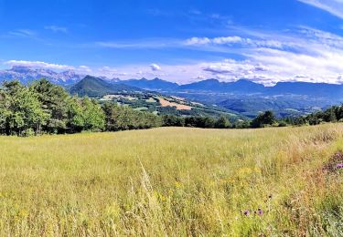
Walking
Walking
Walking
Walking
Walking
Walking
Walking
Walking
Walking
Walking
Walking
Walking
Walking
Walking
Walking

Walking
Touring skiing