


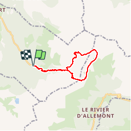


12.4 km | 21 km-effort

User


FREE GPS app for hiking
 SityTrail
IGN / Geographical institutes
SityTrail World
The world is yours!
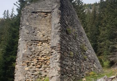
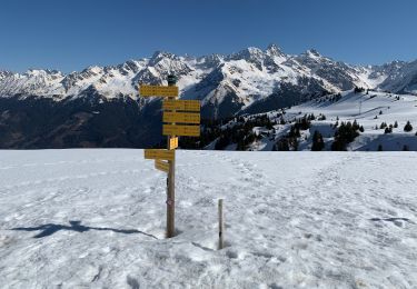
Trail Walking of 12.1 km to be discovered at Auvergne-Rhône-Alpes, Isère, Laval-en-Belledonne. This trail is proposed by patjobou.
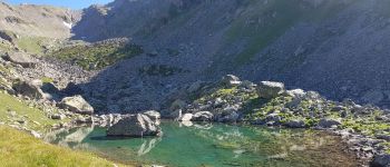
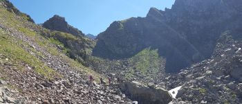
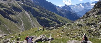
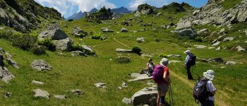
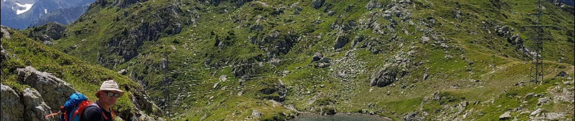
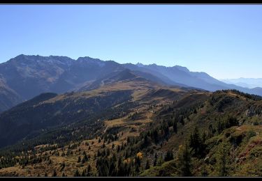
Très belle boucle dans Belledonne: Lacs du Vénétier, Col de L Aigleton, Pas du Pin, Pas de La Coche.
Entre le Lac du Vénétier et le Pas du Pin: Sentier plus ou moins marqué, et à peu près cairné. Des passages 'à vue'. A faire par beau temps assuré. Bouquetins au Col de l'Aigleton.


Walking
Walking
Touring skiing
Walking
Walking

On foot
Walking
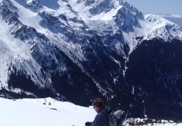
Touring skiing
Snowshoes